Geo-Fences
Geo-fences allow to define and manupulate geo-fences that are essentially sections or point sets of a geographical map.
Geo-fences functionality is provided by a special model. This model is available for installation from resources. Geo-fence model is instantiable, each instance can be of one of these types:
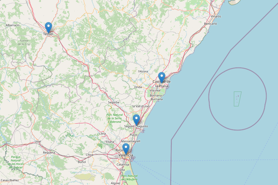
Points
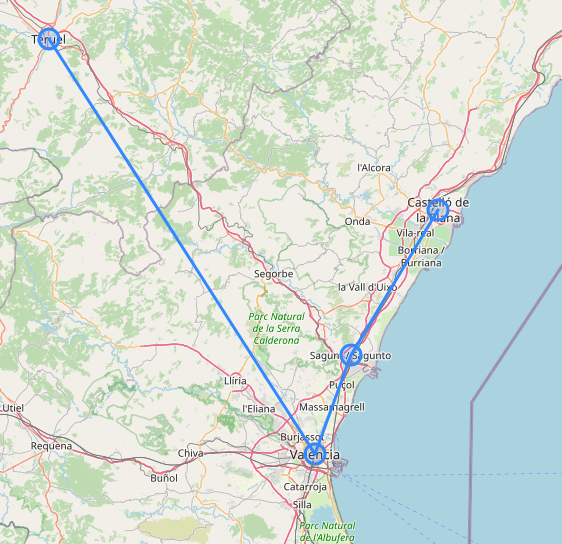
Path
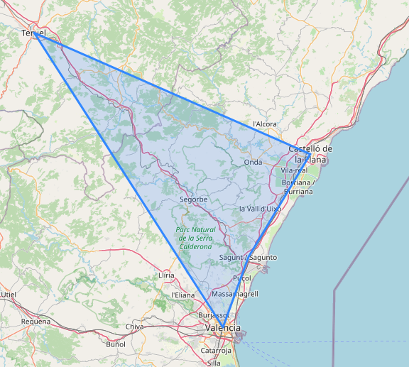
Polygon
Each instance of a Geo-fences model consists of several points specified by their latitude and longitude.
Geo-fences module also provides a number of functions allowing to manipulate geo-fences, e.g. check is a certain point fits into a geo-fence and so on. Those functions are described in Geo-fence Context Reference.
Geo-fences can be created and managed in Geo-fence Editor.
Examples of Geo-Fences
Point-type geo-fence:

Path-type geo-fence:

Polygon-type geo-fence:

Was this page helpful?